If you are listing a home in St. Marys, aerial media can be the hero of your marketing. Water views, marsh lines, and proximity to the Cumberland Sound all sell. Near Naval Submarine Base Kings Bay, though, you need a careful plan. This guide explains how to capture premium aerials while staying compliant so your timeline, reputation, and sale stay on track.
Drone rules for Kings Bay listings
Aerial video and photography can lift a property above the competition. Waterfront orientation, lot size, dock access, and neighborhood setting all show better from above. Around Kings Bay, there are extra steps because a permanent prohibited area sits over the base and special security instructions apply near Navy and Coast Guard vessels. With the right team and lead time, you can still tell a compelling story and do it the right way.
Here is what you will learn:
- The core regulations that affect listing photography
- Local airspace and security factors in St. Marys
- A step by step plan for compliant aerial shoots
- Creative alternatives when flight is limited
- How to vet the right drone partner and what your agent should manage
Core regulations every seller should know
Part 107 versus recreational flights
Real estate photography is commercial work. That means your pilot must hold an FAA Remote Pilot Certificate under Part 107, and the drone must be registered and operated under Part 107 rules like visual line of sight and typical altitudes at or below 400 feet above ground level according to the FAA’s Part 107 overview.
Remote ID is also required for most commercial drones. The FAA has ended discretionary enforcement. Noncompliance can lead to enforcement action, so your pilot should use a drone with standard Remote ID or a broadcast module per the FAA’s Remote ID updates and Remote ID requirements.
Why this matters to you:
- It reduces risk of fines, delays, or take downs mid shoot.
- It improves safety and quality. Experienced Part 107 pilots plan better, fly smoother, and deliver steadier footage.
Airspace, authorization, and approvals
Some airspace requires advance authorization. The FAA’s LAANC system and DroneZone portal are how pilots request and receive near real time approvals for many flights in controlled airspace as the FAA explains. For listings near Kings Bay, your pilot must also check prohibited and special security areas before proposing dates.
In addition, the base itself is covered by a permanent prohibited area, designated P 50. Flights inside that circle are generally off limits without authorization from the using agency and the FAA. The boundary is defined in the federal notice that established P 50 for Kings Bay see the P 50 documentation.
Insurance, waivers, and recordkeeping
Ask for proof of the pilot’s Part 107 certificate, drone registration, Remote ID compliance, and liability insurance. Some shoots may require additional permissions, which adds lead time. Keep copies of airspace checks, approvals, and day of NOTAM screenshots in your listing file. The FAA also publishes examples of enforcement actions and penalties, which is a reminder to work with professionals who document compliance see FAA enforcement notices.
Airspace considerations around St. Marys
Military facilities and sensitive sites
Naval Submarine Base Kings Bay is a sensitive federal site. The FAA established a permanent prohibited area over the base, and the agency has issued special security instructions for UAS near Navy and Coast Guard vessels operating in the defined local airspace. Those rules include stand off distances from vessels in the Cumberland Sound area as described in the FAA NOTAM and the P 50 notice. A qualified pilot will plan routes that avoid sensitive footprints and will not attempt to film military vessels.
Temporary flight restrictions and events
Conditions change. The FAA can issue temporary flight restrictions or update special security instructions without much notice. Your pilot should check NOTAMs and TFRs the morning of the shoot and again before takeoff using the FAA NOTAM link for Kings Bay SSI.
HOA, marina, and neighborhood rules
Georgia law generally preempts local regulation of drone flight, but cities and counties can control launch and landing on public property and enforce federal rules. Private communities, HOAs, and marinas can set their own property use policies. If you plan to launch from a community dock, park, or common area, get written permission in advance per Georgia’s state preemption statute.
Plan a compliant aerial shoot
Preflight planning and coordination
- Discovery call: Define goals, views, and any sensitive neighboring sites.
- Desktop checks: Airspace class, prohibited areas, special security instructions, and LAANC needs. Your pilot should pull current charts and NOTAMs using LAANC and review P 50 boundaries per the federal notice.
- Launch plan: Choose a lawful launch point with written permission. Remember that local governments can restrict launch and landing on public property per Georgia law.
- Schedule: Build in an alternate date in case TFRs or vessel activity make flight impractical.
- Shot list: Prioritize key angles so the pilot can capture required footage quickly if conditions tighten.
On site safety and privacy steps
- Briefing: Confirm weather, airspace, emergency procedures, and any live updates to NOTAMs.
- Perimeter: Maintain courteous distances from neighbors and avoid filming private backyards or interiors without consent. Georgia privacy statutes prohibit certain surveillance and protect areas where people have a reasonable expectation of privacy see relevant state privacy rules.
- Vessel awareness: If Navy or Coast Guard vessels are operating in the area, the FAA’s special security instructions apply and require stand off distances. If in doubt, pause and reschedule per the FAA NOTAM.
Postflight review and asset delivery
- Compliance file: Save copies of airspace checks, approvals, and Remote ID verification.
- Edit plan: Deliver cinematic cuts for MLS rules, luxury portal placements, and social. Confirm there is no sensitive infrastructure visible and that privacy standards are met.
- Approvals: For any uncertain items, request a legal or broker review before publishing.
Showcase views without overflight
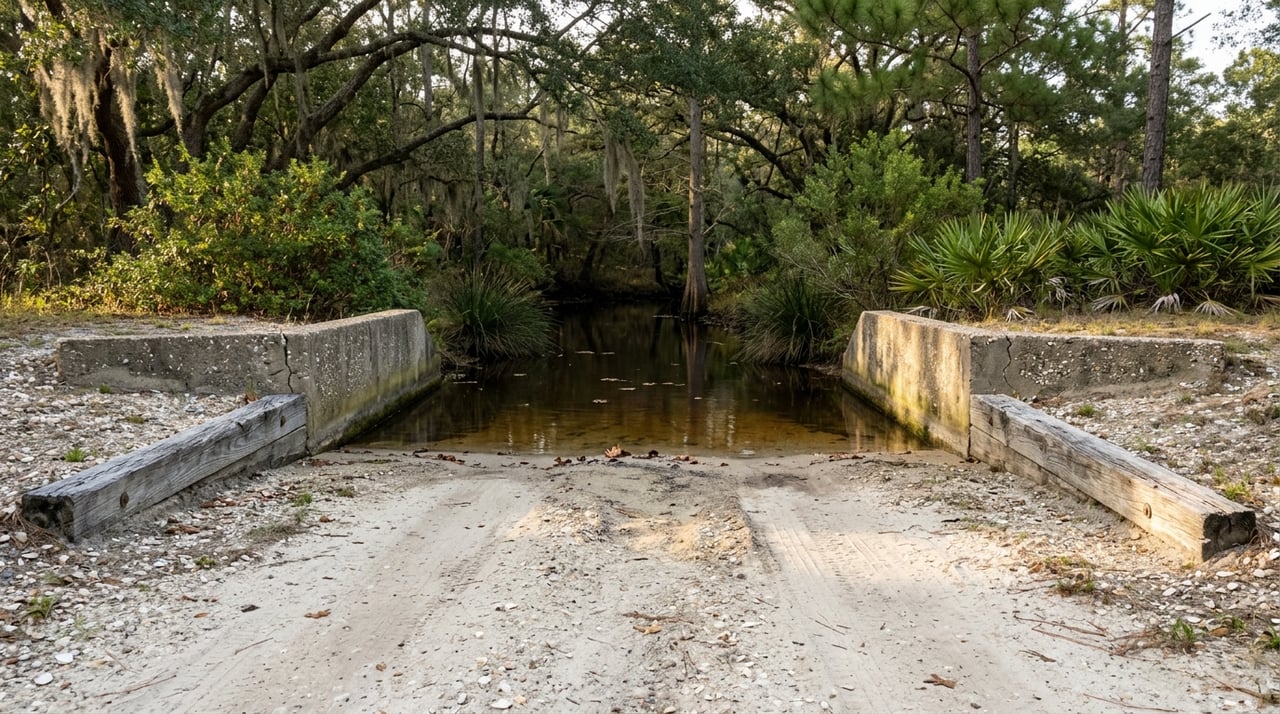
Ground based cinematic alternatives
- Gimbal stabilized walk through videos that reveal flow and finishes
- Elevated pole photography to clear landscaping and show lot context
- Timelapse sunrise and blue hour sequences from the property line
Partner boats, rooftops, and vantage points
- Shoot from a permitted rooftop or balcony to frame water and marsh.
- Charter a boat and film from the vessel with handheld rigs when lawful and safe. Confirm marina and captain permissions.
- Use nearby public lookouts for context photos if allowed. Always respect property and posted rules.
Editing techniques that sell the setting
- Map overlays and tasteful labels to show distances to marinas and beaches
- Split screen before and after sequences to highlight renovations
- Captions that tell a lifestyle story while staying factual and compliant
Choose the right drone partner
Credentials and experience to verify
- FAA Part 107 Remote Pilot Certificate and current recurrent training per the FAA
- Drone registration and documented Remote ID compliance per the FAA
- Liability insurance and, ideally, hull coverage
- Portfolio that shows experience near sensitive airspace
- Familiarity with LAANC, DroneZone, and NOTAM checks as outlined by the FAA
Questions to ask before hiring
- What is your plan to avoid the Kings Bay prohibited area P 50 and comply with special security instructions near vessels referencing P 50 and the Kings Bay NOTAM?
- Will you supply copies of your Part 107 certificate, registration, insurance, and Remote ID documentation before the shoot?
- How do you handle launch permissions for public property, HOA docks, and marinas in Georgia considering state preemption rules?
- What is your contingency plan if a new NOTAM or TFR appears on the day of the shoot?
- How do you manage privacy and neighbor communications to reduce complaints in line with Georgia privacy statutes?
For additional industry best practices on vetting and contracts, see the National Association of REALTORS guidance on drones and vendor standards NAR’s resource.
What your agent should manage
- Timeline and vendor selection, including backup dates
- Written permissions for launch and landing points
- Coordination with HOA or marina managers when needed
- Documentation of airspace checks, approvals, and NOTAMs
- Review and distribution of final assets across MLS and luxury portals
Confident, compliant marketing in St. Marys
Premium aerial storytelling is achievable near Kings Bay when you pair smart planning with the right partners. Respect the prohibited area, follow special security instructions, and document each step. If flying is not advisable on a given day, switch to creative ground based strategies so your launch stays on schedule.
If you want a compliance forward media plan tailored to your property, I would love to help you design it. Start your Golden Isles search and listing prep with a brief consultation. Connect with Georgia Bailey Usry to align strategy, permissions, and production so your listing shines without risk.
FAQs
Can we fly a drone for my St. Marys listing near Kings Bay?
- Often yes, but only outside the prohibited area and in compliance with FAA rules and special security instructions. Your pilot must check P 50 boundaries per the federal notice and local NOTAMs via the FAA page before committing to a date.
What documents should my drone provider show before we schedule?
- Part 107 Remote Pilot Certificate, drone registration, proof of Remote ID compliance, and current liability insurance. These align with FAA requirements and industry best practices see FAA Part 107 and NAR guidance.
How do vessel restrictions affect waterfront shoots?
- The FAA’s special security instructions require standoff distances from Navy and Coast Guard vessels operating in the area. Your pilot should not approach or film such vessels and should reschedule if activity would conflict per the Kings Bay NOTAM.
Can we launch from a city park, dock, or street?
- Georgia law lets local governments control launch and landing on public property. Get written permission from the city, county, or HOA before launching from public or common areas see Georgia preemption statute.
What if a new TFR or NOTAM pops up the morning of the shoot?
- Your pilot should check NOTAMs the day of flight and just before takeoff. If restrictions appear, the plan shifts to a backup date or to ground based alternatives to keep your marketing on schedule per FAA NOTAM guidance.
Do privacy rules limit what we can film?
- Yes. Do not capture private spaces where people expect privacy without consent. Georgia privacy laws apply, so your pilot should frame shots to avoid neighbors’ backyards and interiors see state privacy statutes.
What is P 50 and why does it matter?
- P 50 is a permanent FAA prohibited area over Naval Submarine Base Kings Bay. Routine drone flights inside that boundary are not allowed without authorization. Always plan routes outside this area see the P 50 documentation.
How do we prove compliance if asked?
- Keep copies of pilot credentials, insurance, Remote ID details, LAANC or DroneZone approvals, and screenshots of NOTAM checks. FAA resources outline these requirements and tools see LAANC and Remote ID.